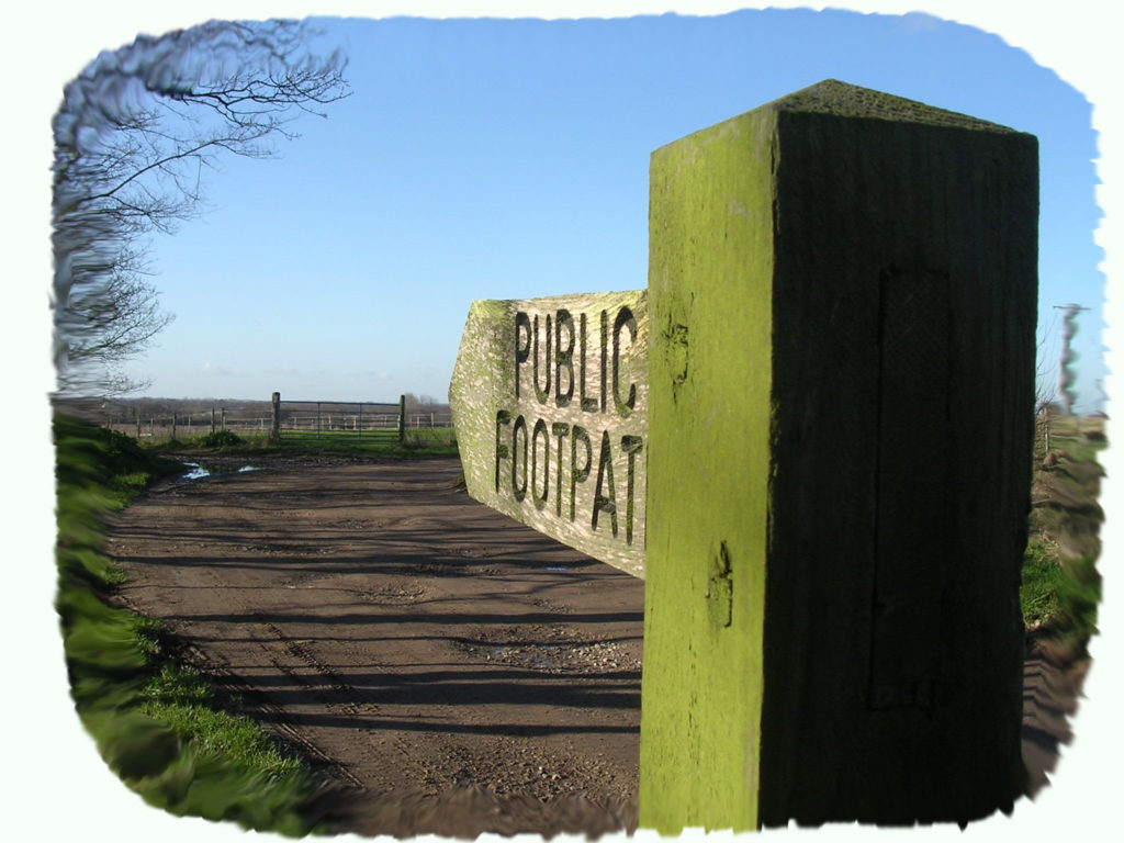
This page provides a guide to the all the public footpaths that can be found in and around Martham.
Each footpath is explained on its own page. They are all shown on this map:
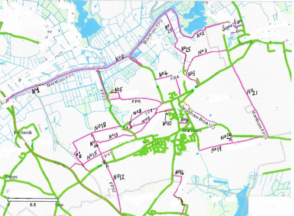
This is a list of the Footpaths, click on any you are interested in for detailed information:-
No1 – From the Boat Yard at the north end of Cess Road to the Ferrygate Boat Dyke Staithe.
No2 – From Ferrygate Boat Dyke Staithe, round Martham Broad and on to Somerton.
No3 – From Somerton Road, through Damgate to Somerton.
No4 – From Staithe Road running through Moregrove to halfway along Ferrygate.
No10 – Starts opposite St Mary’s Church, runs along Oak Tree Close and on to Sandy Lane.
No11 – From the former Oddfellows Hall, Black Street to the Village Hall, White Street.
No12 – From opposite the layby in Repps Road heading south to the A149.
No13 – From Rose Farm, Cess Road to its junction with footpath No14.
No14 – From Repps Road (opposite footpath No12) north to Common Road.
No15 – From Low Road across fields to Grange Farm and then on to the A149.
No16 – From Rollesby Road heading south to Cowtrot, Rollesby.
No17 – Known as Sandy Lane it runs from the south end of Ferrygate to Cess Road opposite Rose Farm.
No18 – From Grange Farm, Repps Road to the junction of Common Road and Cess Road.
No21 – From Top Farm, Somerton Road to Gibbet Hill Farm, Hemsby Road.
No22 – Pratts Loke – This is a B.O.A.T. (Byway Open to All Traffic) that is a public right of way and links Hemsby Road to Somerton Road.
No23 – This is actually a private road at the north end of Cess Road that is the final stretch leading to Martham Boat Yard. It is a concrete road with no redeeming features but has been designated as a footpath so that people have a right of way over it.
No24 – This is a minor variation between footpath Nos. 1 & 2 that no walkers will notice but has been recorded separately by Norfolk County Council for legal and technical reasons.
No25 – Damgate to the River Thurne near Dungeon Corner.
The footpaths are easy to walk and, in many instances, derive from medieval paths that now provide handy short cuts. The walker can link many of the paths to enjoy fine Broadland views.
The footpaths are open to the public at all times of the year. This includes access with pushchairs, or a dog provided it is on a lead or under close control. Footpaths are not allowed to be used by vehicles and bikes.
The footpaths are those listed on the definitive list held by Norfolk County Council. They are well signposted and maintained by landowners, the County Council and Martham Parish Council.
A poem was included in a guidebook to Martham published in 1830 called “The Strangers Guide to the Polite Village of Martham”. A few lines were:
“Martham all hail! Thou seat of the polite Compared with others glorious is thy plight,
Who would but envy such a piece to dwell in
Who but would say how much this place excel in?”
The footpaths of Martham have changed little since 1830 and remain a place to excel in.
If you like walking you may also be interested in reading about three short strolls around the village centre. They are based on maps with markers that provide added information. Select ‘Guided Walks’ from the main menu on the right.
Happy wandering
With thanks to Ann Meakin who provided extra information about ecology and additional photographs provided by Chris Harrison.