Footpath No4, Martham 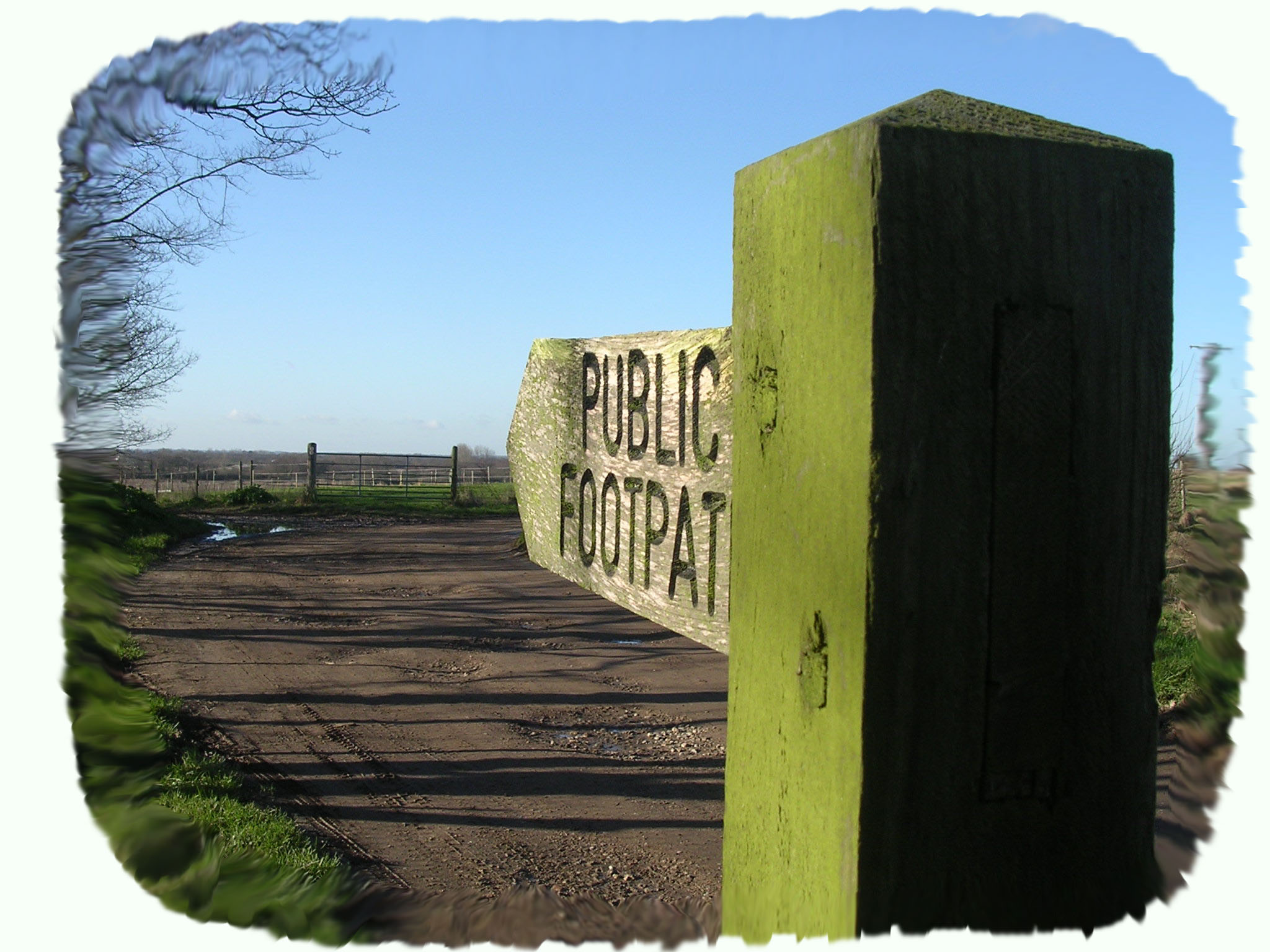
Footpath No4: Runs from Staithe Road, through Moregrove and comes out halfway down Ferrygate Lane.
OS map ref: TG456186 to TG450189. Distance: 884 yards (816 metres)
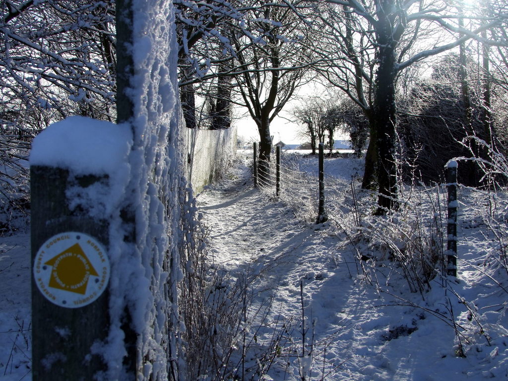
Surface: Mud and grass path over fields (sometimes ploughed up) followed by made up path and then a farm track.
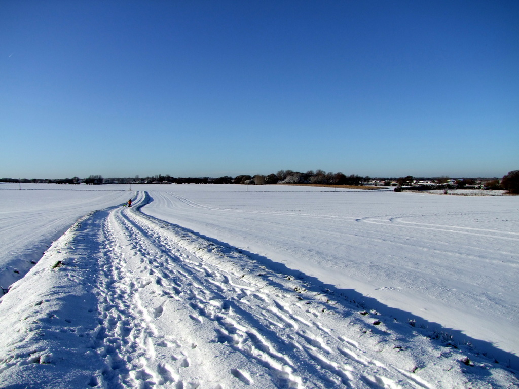
Description: Wonderful views north across the Broads and to the coast.
Linked Footpaths: No 1 at the bottom of Ferrygate and No3 a short distance away on Somerton Road.
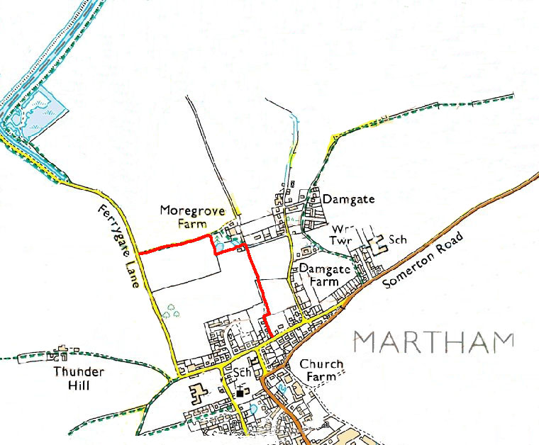
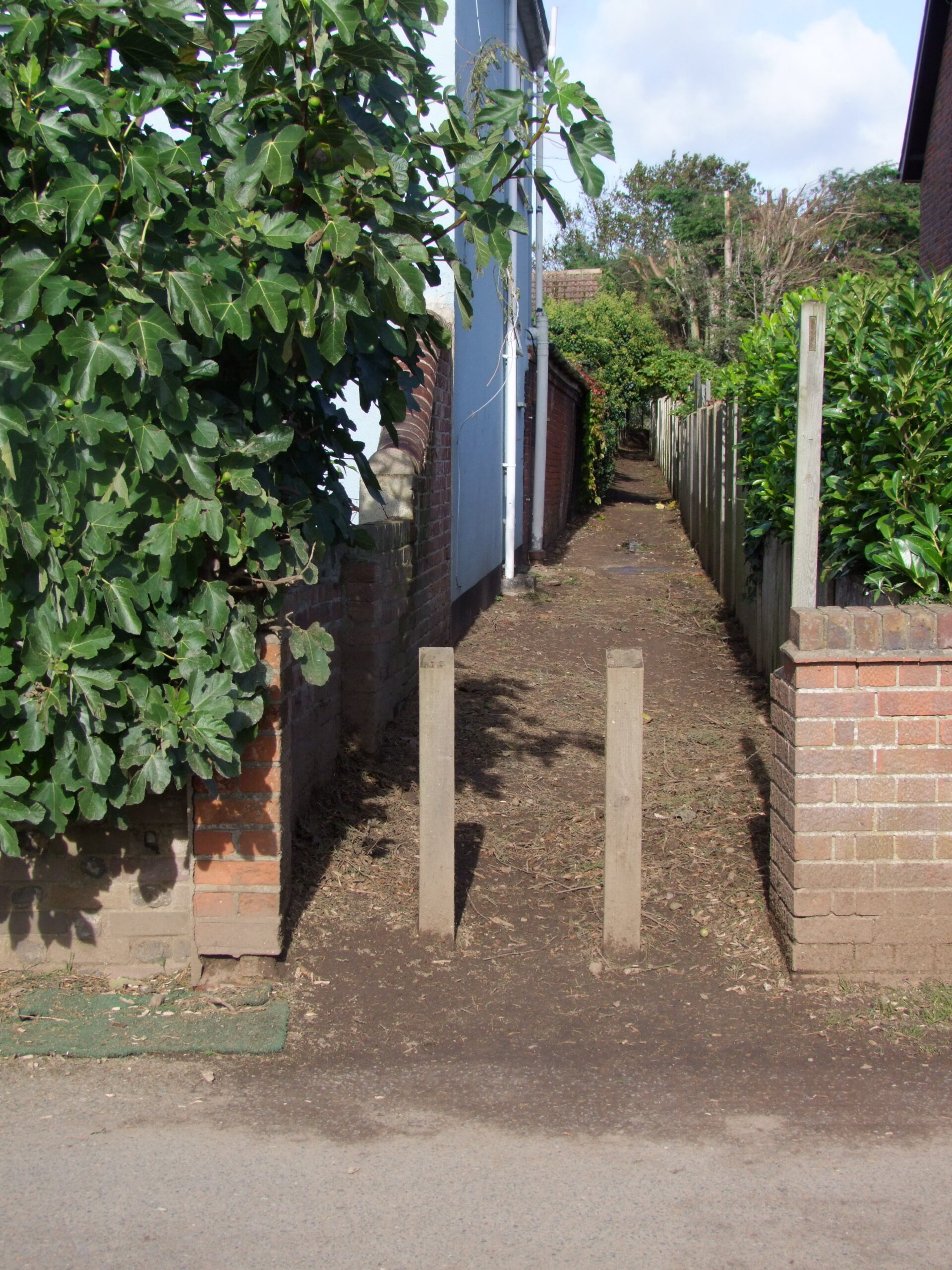
Start: At an ordinary looking stile between numbers 41 and 47 Staithe Road at TG456186.
The path leads for only 90 yards (83 metres) between the back gardens of the two houses with a close-boarded fence on your right before emerging onto open fields. As soon as it does, turn right (east) for 30 yards (28 metres) and then left (north) across the open but well-worn path. Halfway across the field to the farm, that is already in view, pause to take in the marvellous views north.
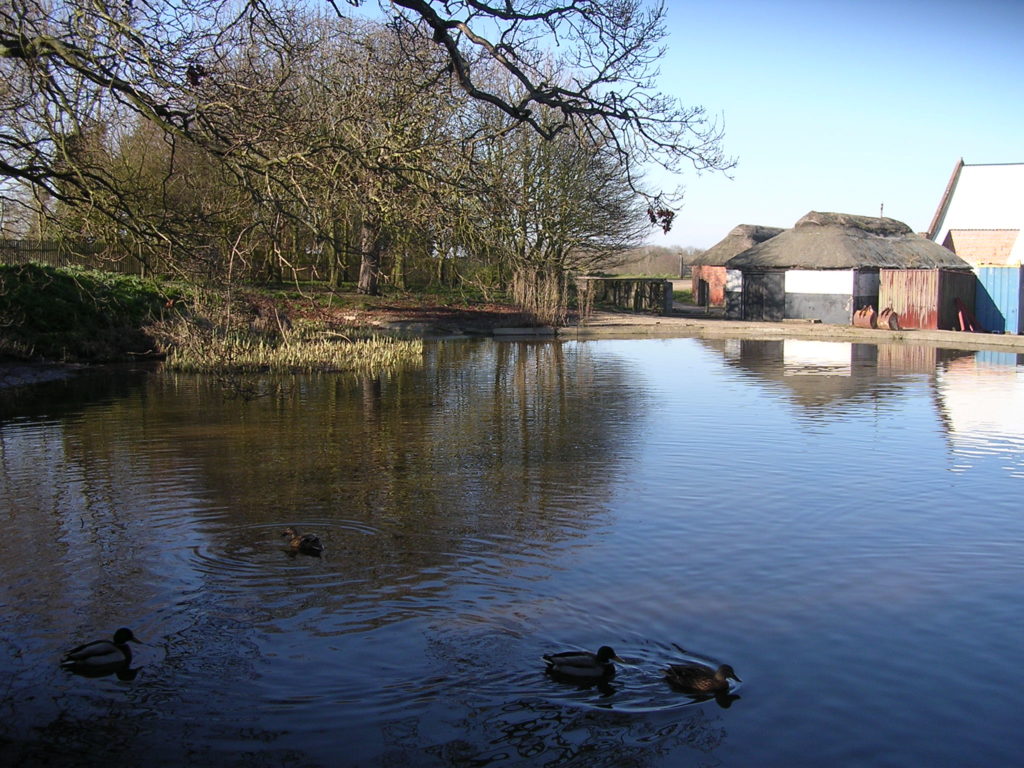
As you get to the edge of the field there is a bungalow on your left and the path has been diverted between it and the farm pond where once upon a time the path continued straight through the farmyard. The reason for the diversion around the farmyard becomes obvious when you look at what was once dilapidated barns that have been turned into fine homes with pond views.
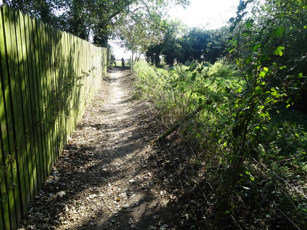
The original farm buildings were once part of the 13th century site of the second manor in Martham known as the Manor of Moregrove. When you turn the corner north at the end of the fence on your left is a steep bank which many centuries ago formed the moated boundary of Moregrove. On the other side of the fence is a planted area which was once the site of the ancient Moregrove Manor House which was demolished in about 1970. At the end of the diverted path turn left (west) and follow the farm track until the path ends at the junction with Ferrygate Lane at TG450189. This track has probably existed since at least the 13th century when it was the route from Moregrove Manor to the river.
Manor of Moregrove
This small manor has a complicated history changing hands frequently. Inthe early 12th century Bishop Losinga granted land to the de Gunton family in several villages including Martham which included the church and the holding became important enough for the family to take the name ‘de Martham’. In the Stowe Survey of 1292 Robert de Martham is recorded as having a house in Moregrove field, most probably the manor house. In 1276 Matthew de Gunton died, leaving no male heir and the manor moved through various hands down the female line. The estate changed hands fairly rapidly in the 14th & 15th centuries until in the earlier 16th century it was granted to William Knightly who held a manor house ‘in the middle of Moregrove Field’. The medieval manor house was replaced in the 17th/18th century and that house in turn was demolished in 1970.
This footpath is the remains of a network of tracks that were once part of the estate that included the church.
For a printer friendly version click HERE. This will open a separate window as a ‘pdf’ that you can then print.