Footpath No1, Martham 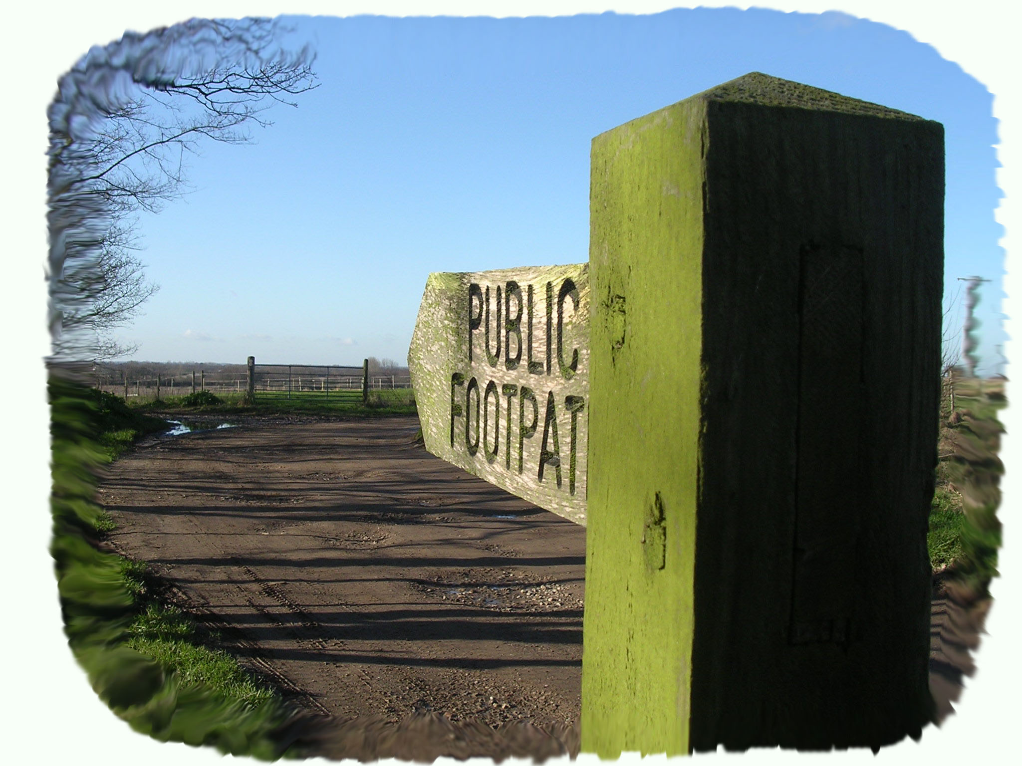
Footpath No1: Runs from the Boat Yard at the north end of Cess Road to Ferrygate Boat Dyke Staithe.
OS map ref: TG439192 to TG448192. Distance: 1120 yards (1034metres).
Surface: Firm footpath of concrete, compacted road and tarmac.
Description: Enchanting boat dyke, nosy viewing of riverside homes and tranquil River Thurne.
Linked Footpath: No2 Martham Staithe to Somerton.
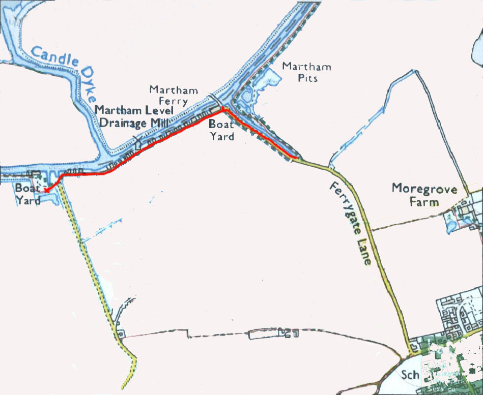
Start: Within the parish of Martham this footpath starts at the northernmost end of Cess Road (TG439192) but is a continuation of the riverside footpath from the A149 bridge over the Thurne at Potter Heigham.
From the centre of the village take the road down beside the Co-op and DIY on Repps Road and drive down Cess Road. Towards the end, ignore the right fork to Mustard Hyrn Farm and carry on down the private road until you come to the river and boatyard car park. Here is Martham Boat Building Co. that not only hires out boats but provides fuel and a limited range of refreshments in the summer season. Park here and the start of the walk at TG439192 on your right as you stand with your back to the village.
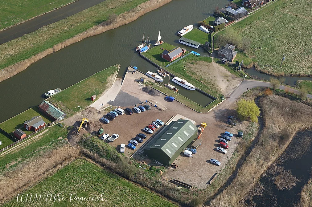
Photo courtesy of Mike Page at http://www.mike-page.co.uk/
In the early 1400’s there was a valuable fishery at this point called Cobham’s Weir and an area of nearby marsh is still known as Cobham’s Furrow. In 1404 the fishery was let for an annual rent of £5 6s 8d which was a good sum in those days when a tenant would have laboured all day to earn a 11/2d.
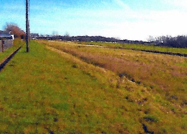
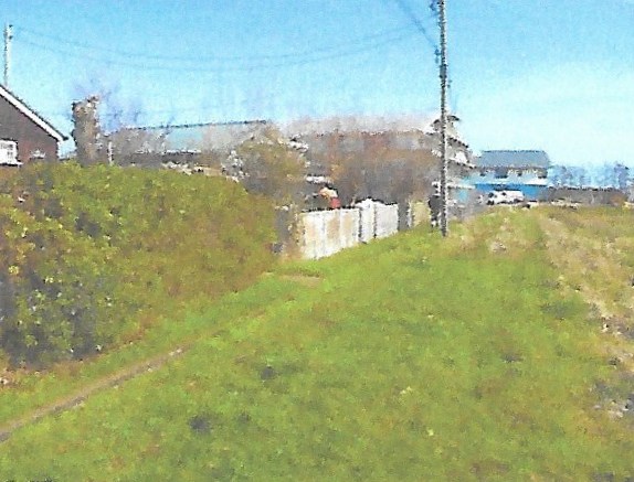
Skirt around the moored boats in front of the old drainage pump house heading east along the narrow concrete footpath behind the private riverfront chalets and boat moorings. This is the only track that serves these holiday homes and the most wonderfully peaceful fishing spot for residents.
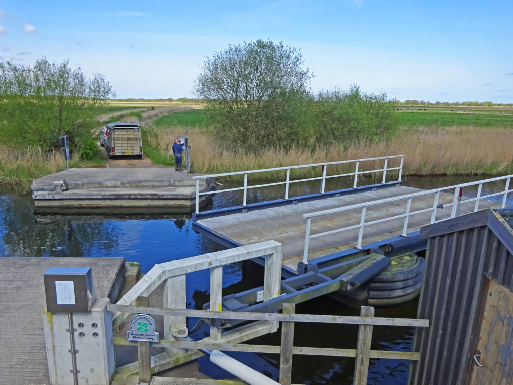
Only a short way along you are rewarded with views north up Candle Dyke that would take you by boat to Hickling Broad. Half way along the path you pass a renovated wind pump, known as Bracey’s Mill, (TG442192) on your right that is now a private residence. Continue along the path with glimpses of the river between the well-kept riverside bungalows. After about 730 yards (674 metres) the bungalows finish and you come to another boat yard adjacent to an ancient boat dyke or Staithe as they are called in these parts. You are now next to Martham Boat Dyke Staithe at the north western end of Ferrygate Lane. Here you will find a unique hand operated swing bridge that on rare occasions you may see in use but there is no right of way across the bridge to Heigham Holmes on the other side of the river. The land on the other bank is National Trust farmland only open once a year to the public and well worth the effort if you are lucky enough to be in this wildlife haven on that day. The swing bridge may only be used for occasional farm vehicles and cattle but it is a beautiful spot looking east to the ruined Heigham Holmes wind pump with the village of Somerton in the distance (see Footpath No2) and the marrams of the coast on the horizon.
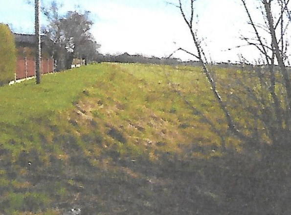
Looking south to the village St Mary’s Church stands out as a symbol of the wealthy medieval agricultural community. Turn away from the main river and proceed along the attractive length of the Staithe walking south down the road to the head of the Staithe. Approximately half way along on the right is a track known as Fen Drove which sadly is not a formal footpath. This green lane was closed by the Inclosure Act of 1807 but linked with the green lane, nowadays firmly gated, at the top of the Staithe that once served the fen edge from Damgate and Ferrygate through to the Common at Cess.
Footpath No1 ends at the head of the Staithe (TG448192) but Footpath No2 continues around the Staithe along the River Thurne to Somerton.
For a printer friendly version click HERE. This will open a separate window as a ‘pdf’ that you can then print.