Damgate, Martham
Damgate was called Damiottoffs in the Domesday survey and it was a hamlet of Martham. The road has been known simply as Damgate or Damgate Road or, sometimes Damgate Lane. There are some Council houses at the bottom end (north) down the hill at Damgate Back Lane. The very bottom of Damgate leads out onto the marshes and there is an ancient route that eventually reaches Staithe No12 on the River Thurne. This route can now be walked using Martham Footpath No25 that ends a few hundred metres from Dungeon Corner.
Just over half way down Damgate, off to the left is a short lane leading to the second manor of Martham called Moregrove. Beyond the end of Damgate where the road runs out there is a footpath that takes you over the former common lands to Somerton.
“Gate” is a medieval word for a road.
Older locals call the junction of Damgate and Staithe Road, Wheelbarrow Corner.
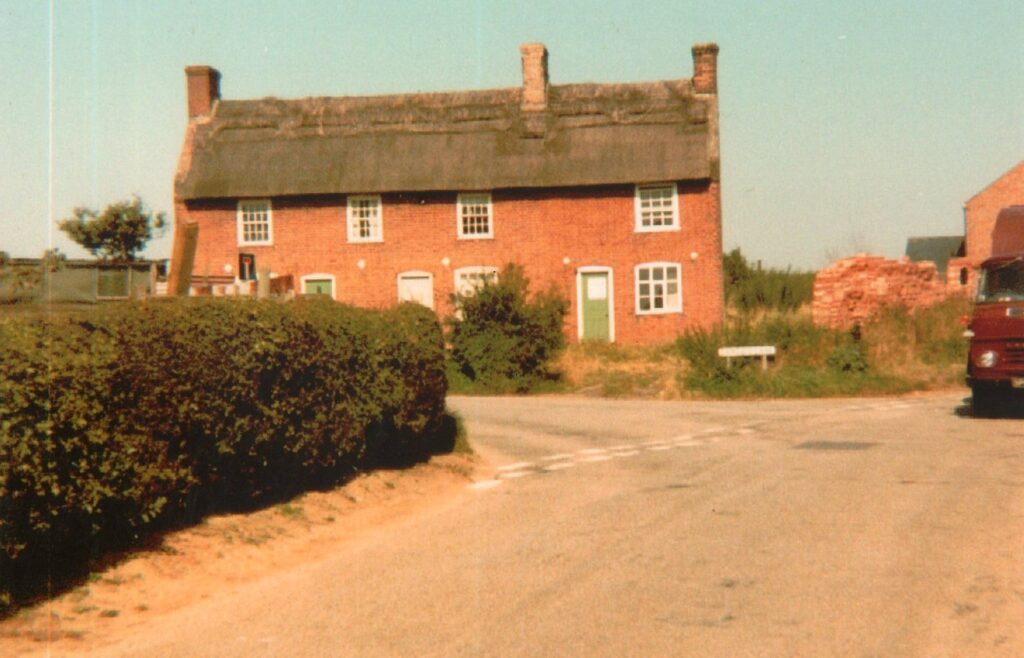
Photo courtesy of David Stretton.
See also the page named Youth Hostel.
Did you know that a sail maker once lived in Damgate? Samuel Pike lived at a house called ‘Sunnyside’. Click on the name for more information.

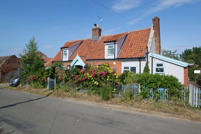
Photographs
For photographs of Damgate click a thumbnail for a close-up and scroll through all the images from there.


