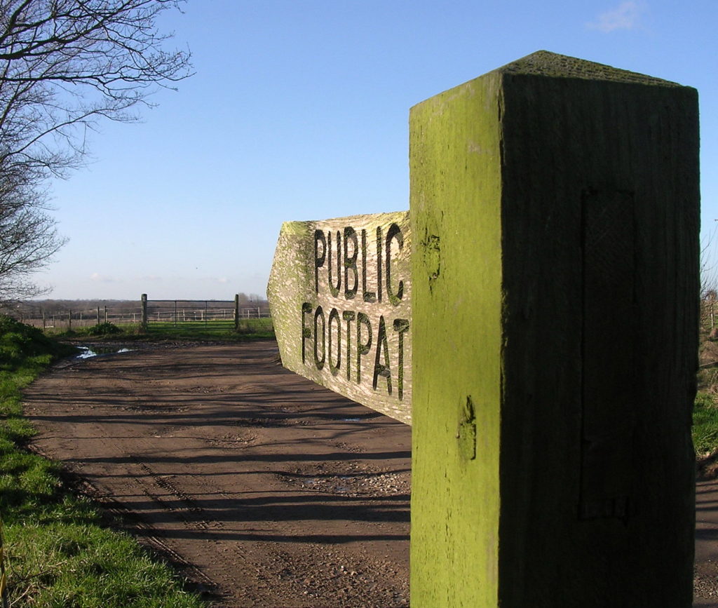
Footpath No17, Martham
Footpath No17: Known as Sandy Lane. From the south end of Ferrygate to Cess Road.
OS map ref: TG452185 to TG447179. Distance: 910 yards (852 metres)
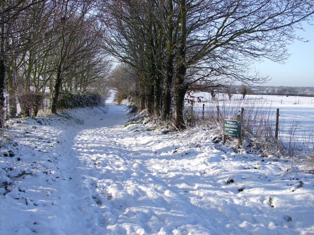
Surface: Rutted cart track mostly firm but with some muddy puddles.
Description: Slight decline if walking from east to west.
Linked Footpaths: Directly links to footpath Nos. 6, 7, 9, 10 & 13; Sandy Lane is part of the interconnected group of footpath numbers 5, 6, 7, 8, 9, 10, 13, 14, 15, 17 & 18 that are the remains of medieval paths running from the Church Manor of Moregrove to the 13th century hamlet of Cess and provided access to the medieval west field system.
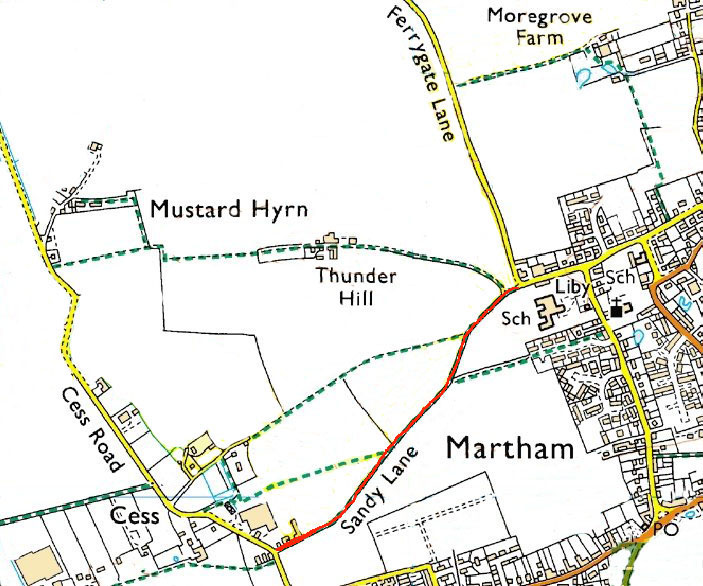
Start: Park at the top of Ferrygate Lane using the riding school car park. Sandy Lane was the main route from the Manor of Moregrove and church area to Cess. At the foot of the first slight slope after only 146 yards footpath No7 can be taken on your right. Sandy Lane at this point is deeply gouged into the surrounding embankment and has the peaceful feel of a truly medieval track way. Another 130 yards brings you to the junction with footpath No10 that takes you back through Oak Tree Close to Black Street and the Church.
Continue straight on and when the hedge on your left comes to an end footpath No. 9 starts, off to the right. Both footpaths 7 and 9 take you deep into Cess, always written as Ses in the 13th century.
For a printer friendly version click HERE. This will open a separate window as a ‘pdf’ that you can then print.