Footpath No18, Martham 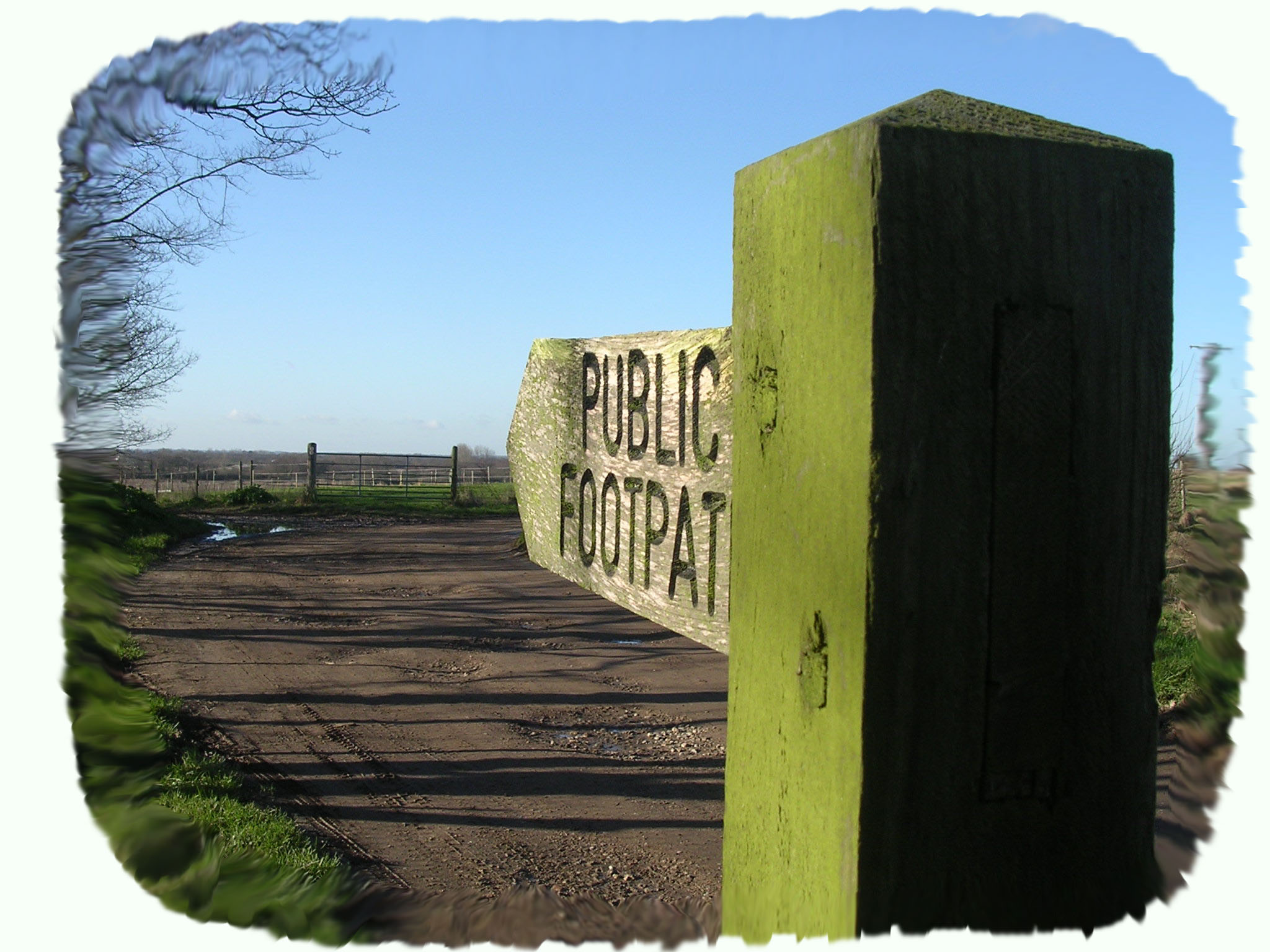
Footpath No18: Runs from Grange Farm, Repps Road to the junction of Common Road and Cess Road.
OS map ref: TG437171 to TG444180. Distance:1772 yards (1938 metres).
Surface: Tarmac road with many potholes for the first half and then compacted road that can turn into a quagmire in winter.
Description: Good flat walk with open views across the fields.
Linked Footpaths: No 14 and 15 and not far from all the others off Cess Road.
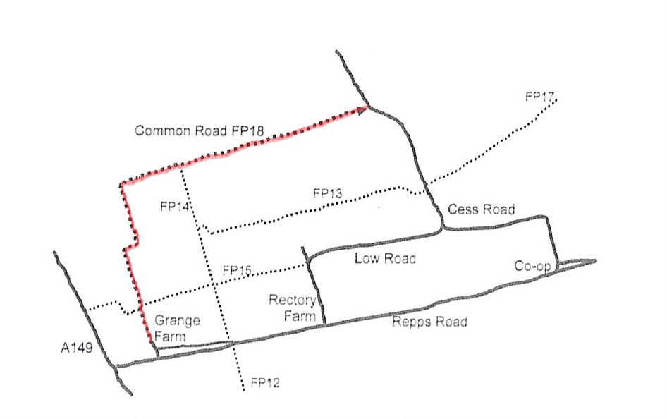
Start: Park just off Repps Road into Common Road at the side of the old road now used as a long layby at TG437171.
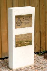
Before you start down Common Road note the small stone memorial on the side of the old road just outside the wall to Grange Lodge. It is to the memory of Martham man Sergeant John George Wiseman of 609 Squadron who was lost over the English Channel on 14th February 1943, age 20. A lasting tribute to one who gave so much for so many.
The whole of this footpath follows the route of “Private Road No17” laid out by the Inclosure Commissioners in 1812 when the common was enclosed and it follows the edge of the pre 1812 common and is also shown clearly on Faden’s map of 1797. This is why it is called Common Road.
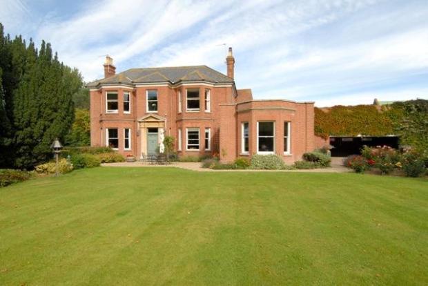
Walk on past the fine Grange House with its farm pond on your left. Keeping to the road you soon pass footpath No15 and a little further on the pretty Beverley Cottage.
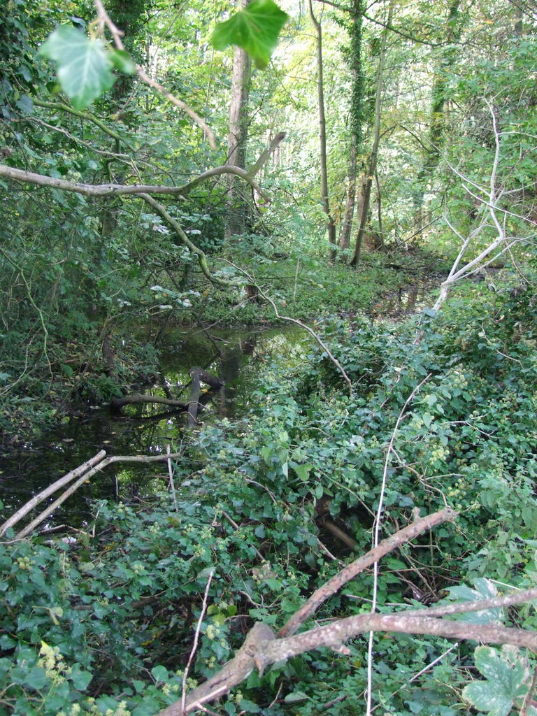
The coppiced alder wood on your left as the road turns right and then left is one of the oldest traditional alder carr woods in the parish known as Babies Hole. The hedges nearby are rich in lime, hawthorn, ash, hazel, rose, bramble, ivy, apple, pear and blackthorn.
Walk on and in a few hundred yards you have to turn right whilst straight ahead is the drive to White Gates Farm which is not a public footpath. Once round the bend looking north about a mile or so away is what looks like a small village but is in fact the bungalows and chalets that stretch along the River Thurne riverbank to Potter Heigham.
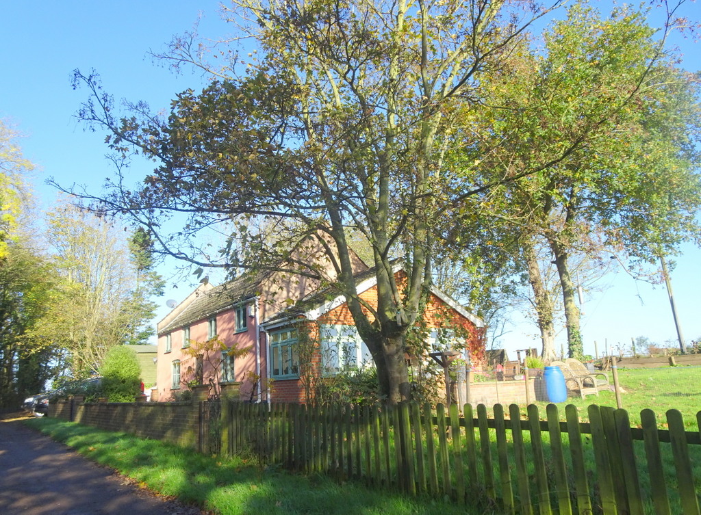
The tarmac road comes to an end as you reach the next white cottage on the right and both are a clue as to why the road tarmac runs out. The cottage is the former Gatehouse No40 at what was once a crossing of the Midland and Great Northern Joint Railway axed by Lord Beeching MP in 1959 there is now no sign of the former railway tracks at this point but in its day the route must have rewarded the traveller with splendid views as it meandered through the countryside. The tarmac road would of course have served the lonely Gatehouse outpost but from hereon the footpath deteriorates depending upon the time of year and weather.
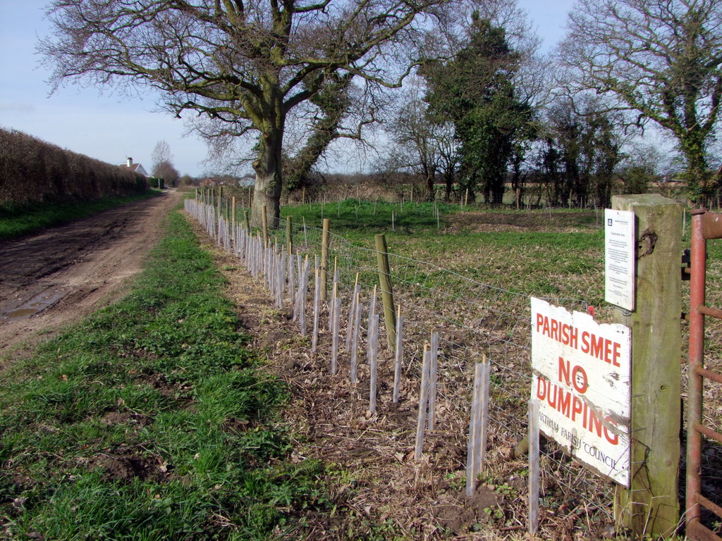
The track continues straight with an unusual view of both St Mary’s Church and the Somerton turbines in an optical illusion that they are close together. On the north side of the path at about TG438179 is a plot of land which was set aside as a parish “smee”. This was an area where local people were allowed to take clay to daub on their houses. The clay has long since been exhausted and the Parish Council has turned the area into a small nature reserve available for public use. There are benches if you need a rest. As you pass over the final section of pathway you are following the route frequently used in the early middle ages when the Isle of Flegg was one of the most densely populated areas in England. On your left was the dry common land that Martham villagers would have had free access to graze their sheep and cattle. The 1292 Stowe Survey of the Manor showed that 16 families had tofts’ (homes) along the edge of the common of which three or four still exist but as you pass by traces of platforms or obvious pastures can be seen on your right as they faced the common.
Common Lane comes to an end when it joins Cess Road and using this guide it is easy to follow several circular walks.
For a printer friendly version click HERE. This will open a separate window as a ‘pdf’ that you can then print.