Footpaths No19 & 20, Martham 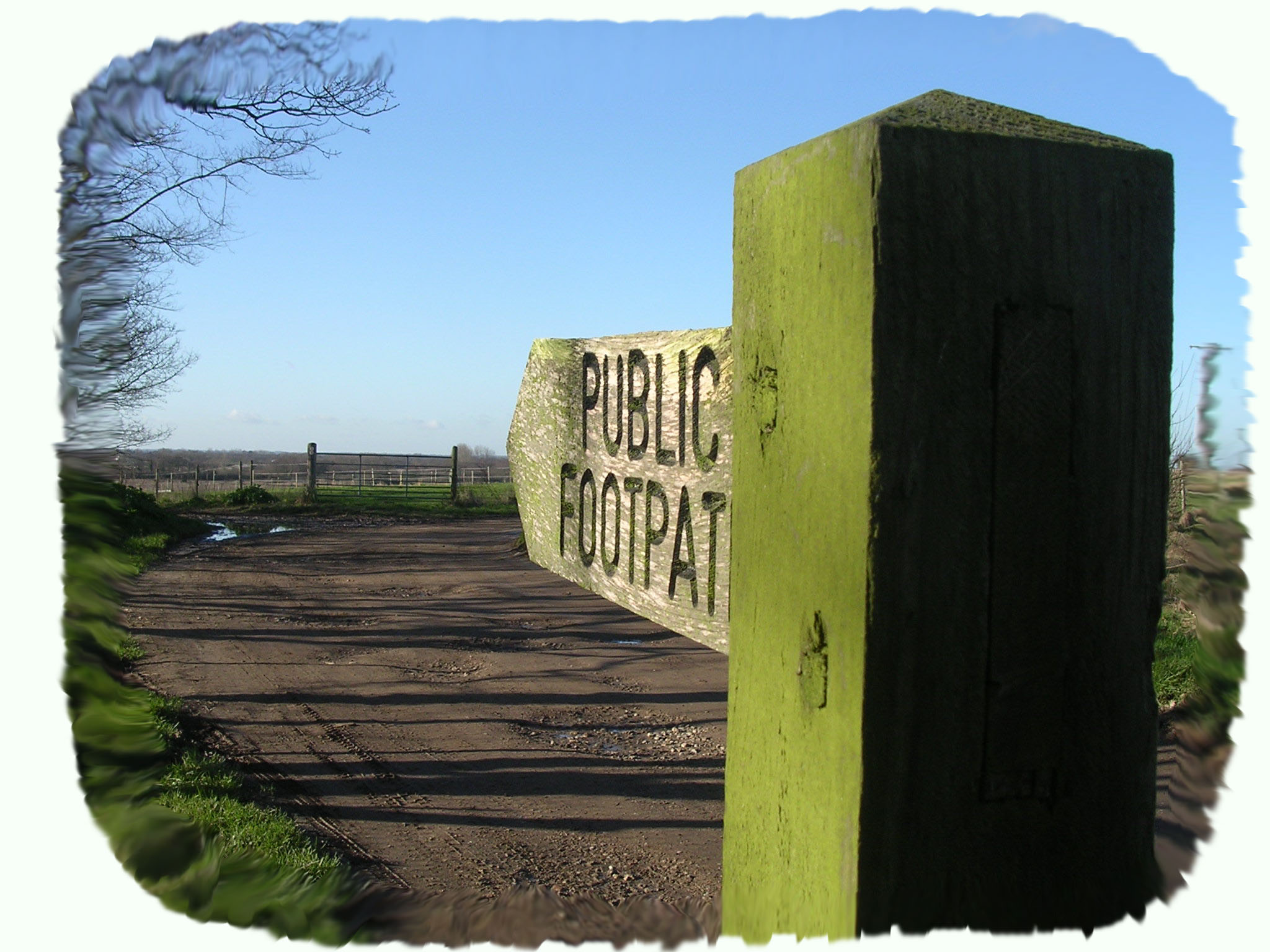
Footpath Nos 19 & 20: Run from Hemsby Road, at the bottom of Gibbet Hill to Hall Farm, Hall Road with a side path (No20) back up to Hemsby Road.
OS map ref: TG472178 to TG460175. Distance: 1400 yards (1280 metres).
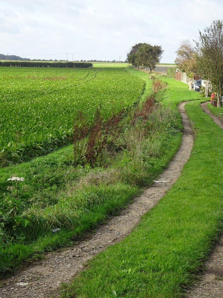
Surface: Typical farm cart track mainly firm but can be muddy and rutted in parts.
Description: Straight lane with a short spur, footpath No20, that is popular with dog walkers.
Linked Footpaths: A short walk from footpath No21.
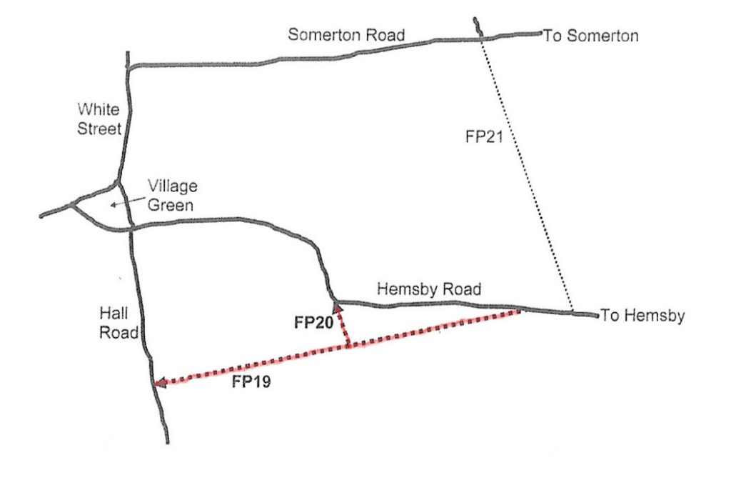
Start: Just to the west of Gibbet Hill stand a pair of semi detached cottages and footpath No19 starts by going behind them and continues for 642 yards (587 metres) west where you could take a short diversion up footpath No20. Alternatively, many people find the parking easy at the top (Hemsby Road) end of footpath No20 and a convenient starting point for a walk with their dog. One of the village welcome signs can be seen at this point.
Back at the junction of path Nos19 & 20 there are distant views through the trees of Rollesby Broad that are clearer in winter when the trees are bereft of leaves. Like Martham Broad, Ormesby Broad was formed out of 14th century flooded peat diggings. Peat was dug in long blocks called turves which were about three and a half inches square and two to three feet long. The 1337-8 peat digging accounts for Ormesby say that about 105,000 turves were dug which was enough to fill a barn. This indicates just how realistic it is to create such diggings over the years which became flooded and formed the Norfolk Broads.
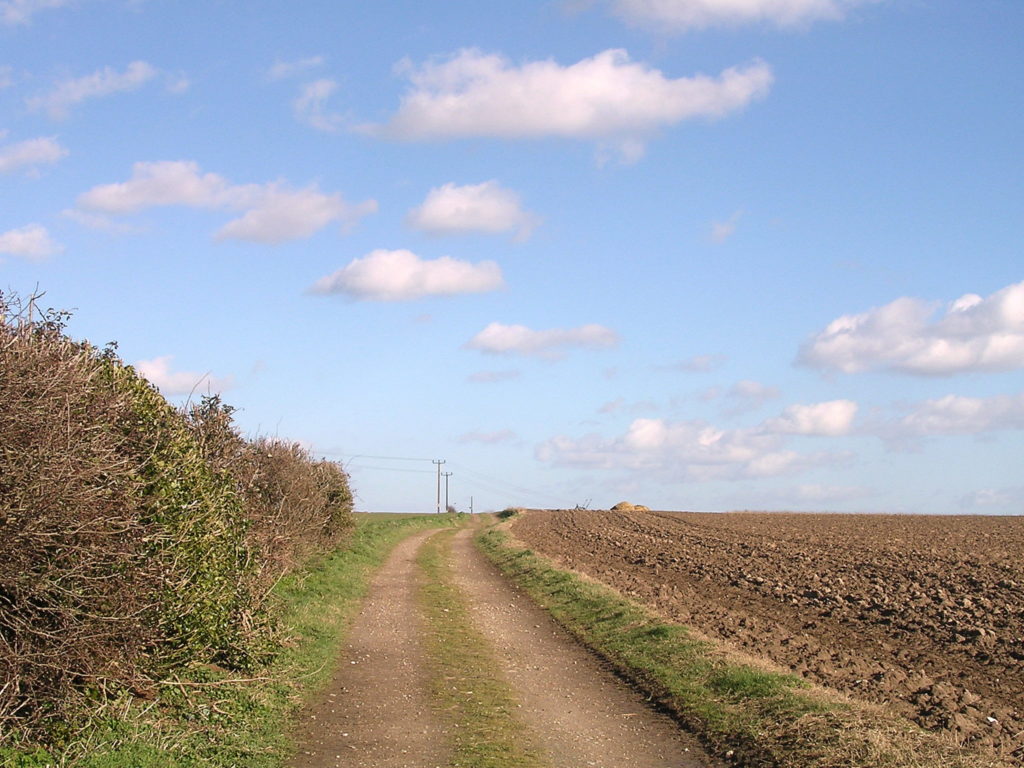
Footpath No19 continues towards the village terminating at a zigzag style fence onto Hall Road. A few steps across the road stands Martham Hall which was the seat of one of the two manors of Martham. This was the main manor and it belonged to the Bishop of Elmham in Pre-Norman times. The Bishopric also held Hemsby Manor and both manors became the possessions of the Bishop of Norwich until the Dissolution of the Monasteries. In the 14th century an enormous tithe barn, which is still standing, was built at Hemsby which would have been used to store the peat diggings referred to above. The Hall or Priory Manor as it was known had a road running east which is now this footpath and would have been an important route to the tithe barn. What is now the footpath is shown on the 1812 Inclosure Award map as “Private Road No6”. In those days it ran eastwards to Le Haske on the boundary of the village with Hemsby which was no doubt our starting point. The path is also referred to as Hun Road by locals.
For a printer friendly version click HERE. This will open a separate window as a ‘pdf’ that you can then print.