Footpath No12, Martham 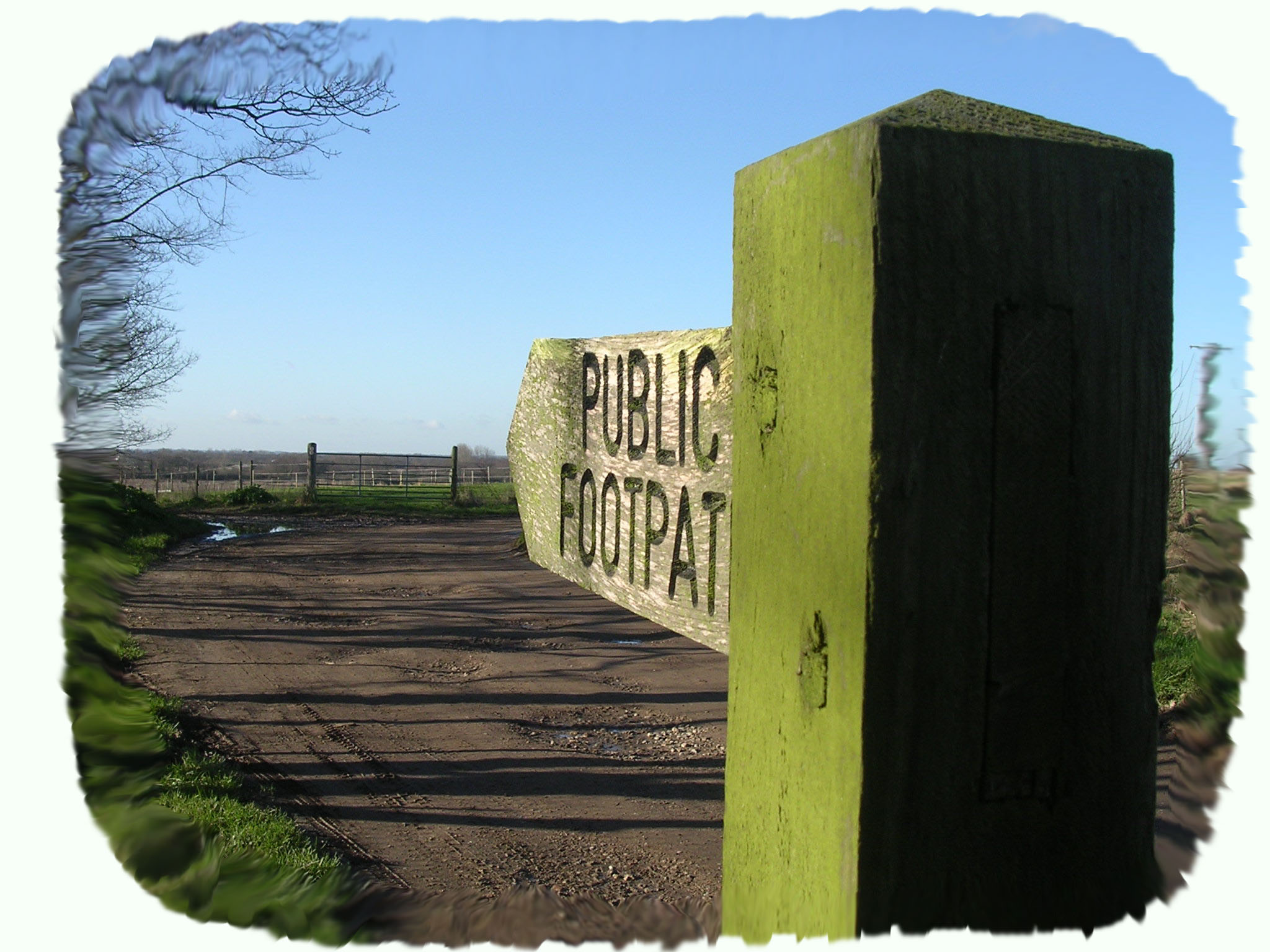

Footpath No12: Runs from opposite the layby in Repps Road, south to its junction with the A149 at Rollesby.
OS map ref: TG441173 to TG444162. Distance: 1128 yards (1031 metres).
Surface: Starts on a well-kept green lane, then becomes a rough field edge and finally crosses a cultivated field.
Description: Easy flat walk close to the B1152 and A149 with off road parking.
Linked Footpaths: Footpath No14 is across the B1152 road.
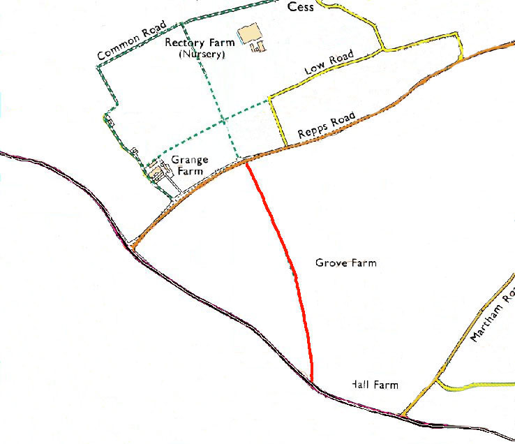
Start: Park on the old B1152 in what is now a long layby at TG441173.
The path starts just off the B1152 next to present Repps Road at what looks like a green lane and runs south straight until you reach a hedge line when the green lane turns right. This is a track formed for the local riding school as a trail, but the actual footpath goes straight ahead beside a cultivated field. At the end of this short field the path is often ploughed out, but the destination is the corner of the semi-detached pair of houses directly across the field. There is a footpath sign at the rear, north end, of the back garden of the first semi detached house called Army Cottage on the A149 where the path ends (or starts if you want to reverse the walk).
For a printer friendly version click HERE. This will open a separate window as a ‘pdf’ that you can then print.