Footpath No11, Martham 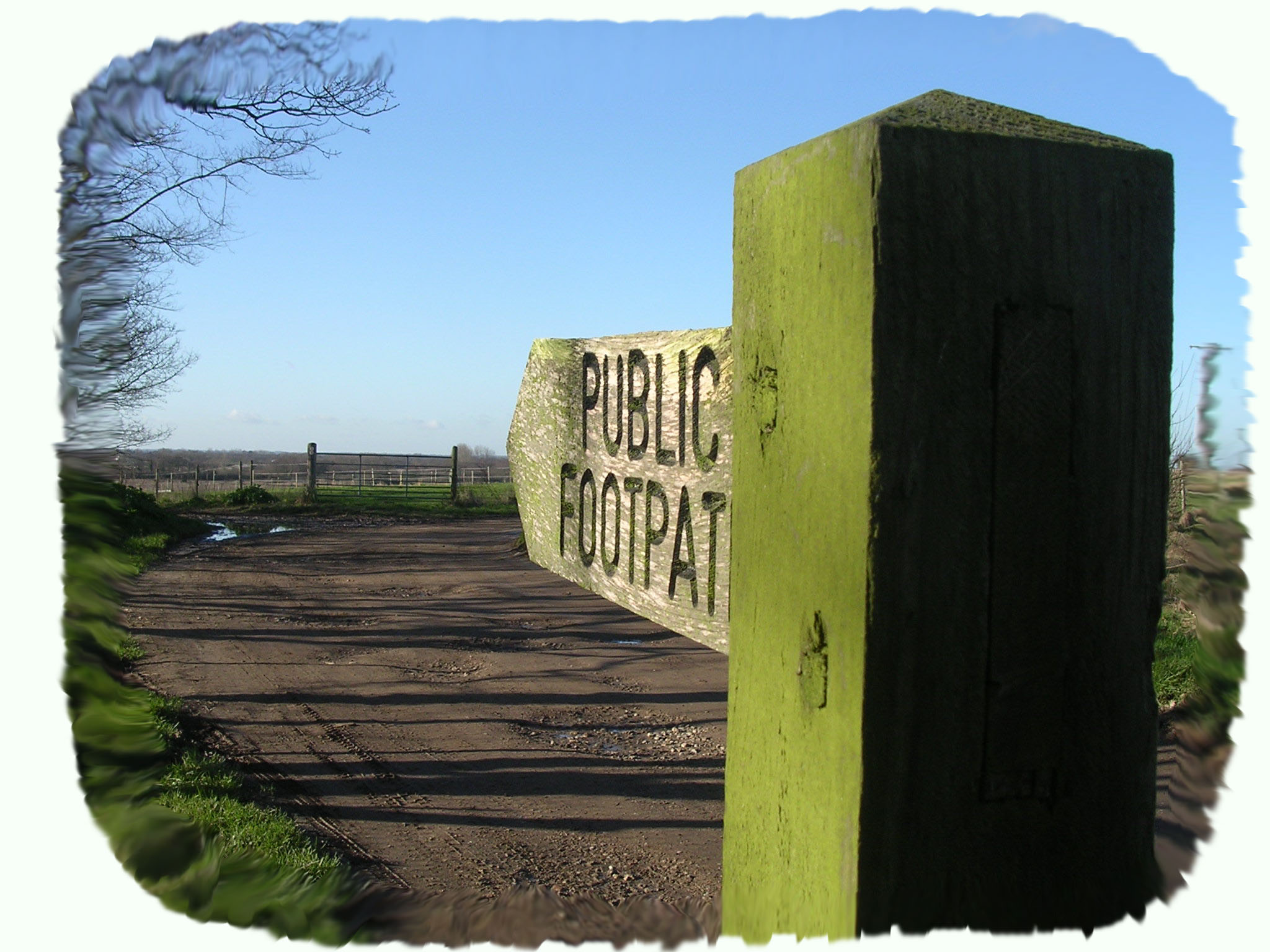
Footpath No 11, Runs from the former Oddfellows Hall, Black Street to the Village Hall, White Street.
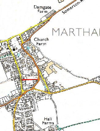
OS map ref: TG455181 to TG457181. Distance: 207 yards (190 metres)
Surface: Compacted earth and grit-based path.
Description: Short cut between Black Street and White Street.
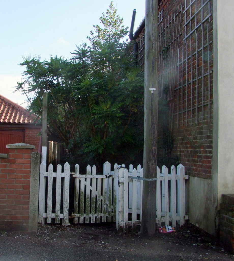
Start: From either end, this path now provides a short cut to the rear of properties joining the two streets and would once have been used by children taking a similar short cut from Black Street to the Free School (now the house to the rear of Whittaker Carpets). The O.S. map of 1884 shows the footpath running along the southern edge of a field, however, when properties where built on the field the path was fenced in.
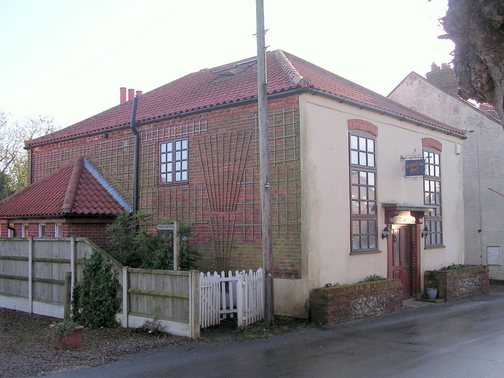
The former Oddfellows Hall that stands at the Black Street end of the footpath is now a private residence but was originally built as the Methodist Chapel sometime before 1851. When the Methodists moved to their existing larger church on Repps Road in 1881 the Reverend George Merriman bought the old building to use as a church meeting room and it subsequently became the Oddfellows Hall.
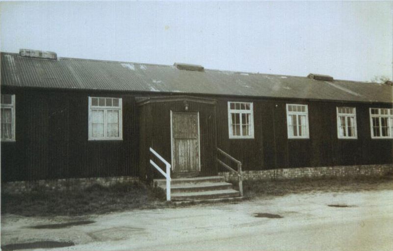
At the White Street end the footpath emerges between the Village Hall and the Baptist Church. The first phase of the current village hall was opened in 1977 and replaced the original 1918 Hall, shown in this picture, that was built to commemorate those lost in the 1914-18 Great War.
For a printer friendly version click HERE. This will open a separate window as a ‘pdf’ that you can then print.