Pratts Loke, Martham 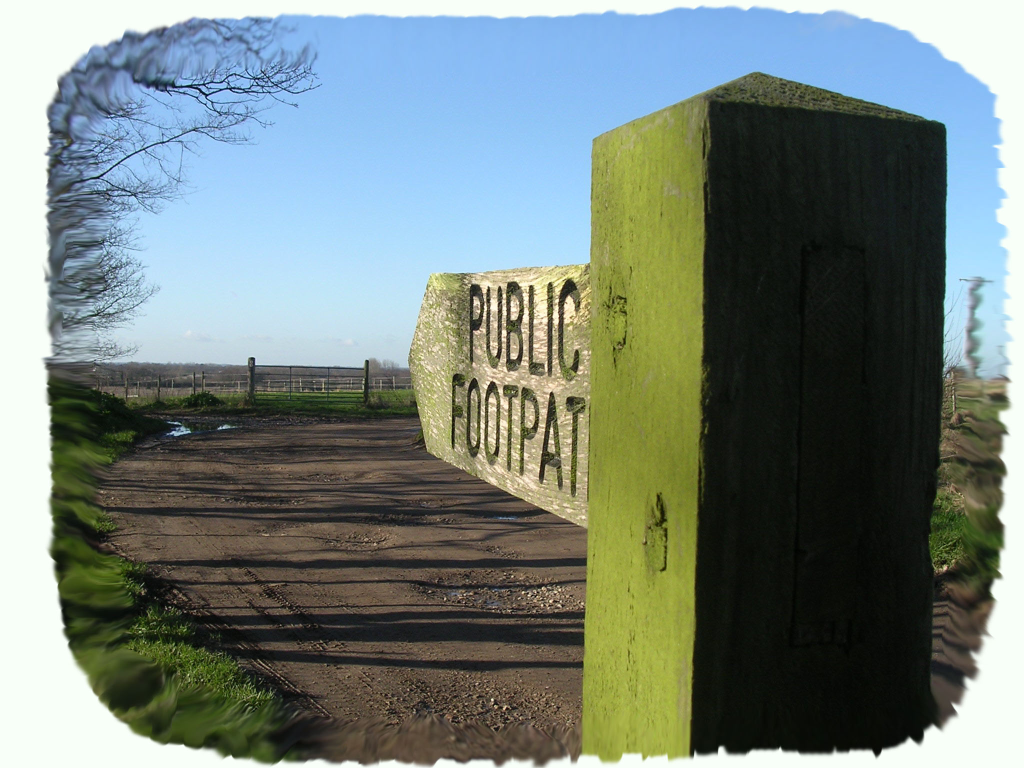
Byway Open to All Traffic. Also Known as Pratts Loke. Links Hemsby Road and Somerton Road.
OS map ref: TG463182 to TG456187
Surface: Typical farm cart track mainly firm unless the weather has been poor in which case it has large muddy puddles.
Description: Technically this is not a footpath but a B.O.A.T., that is a Byway Open to All Traffic which includes a horse and cart. It is a public right of way and is almost a straight lane conveniently joining two of the roads, from the north of Martham to the south.
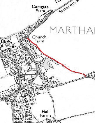
Start: Park with care at the bottom of the Council Houses in Hemsby Road. At this point there is a track behind the Council Houses (not part of Pratts Loke) going east for a hundred yards or so that gives access to back gardens but in 1812 this is shown as a road (track) on the Inclosure Award and on the 1842 Tithe Award map it is called Mill Lane. This led to two Martham windmills so the Loke must have been a particularly important link from the fields to the mills. The B.O.A.T. is also shown on Faden’s Map of 1797.
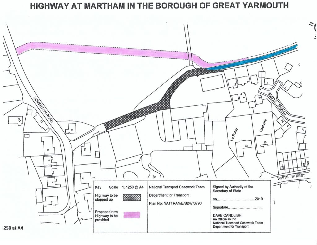
Immediately to your left is a small field with trees planted that was once a clay extraction pit used for brick making. PS this was built on in 2023. A little further along on your left is an area of new housing but it was once the site of Martham Mushroom Farm. Just past there, again on the left, are the remains of some farm buildings and a large barn that at the time of writing in 2020-23 is awaiting redevelopment. The last few hundred yards of the loke is also subject to change as a developer has permission to build homes on the west side and move the route of this loke as shown on this map. History being swept aside for financial gain!
For a printer friendly version click HERE. This will open a separate window as a ‘pdf’ that you can then print.