Footpath No14, Martham 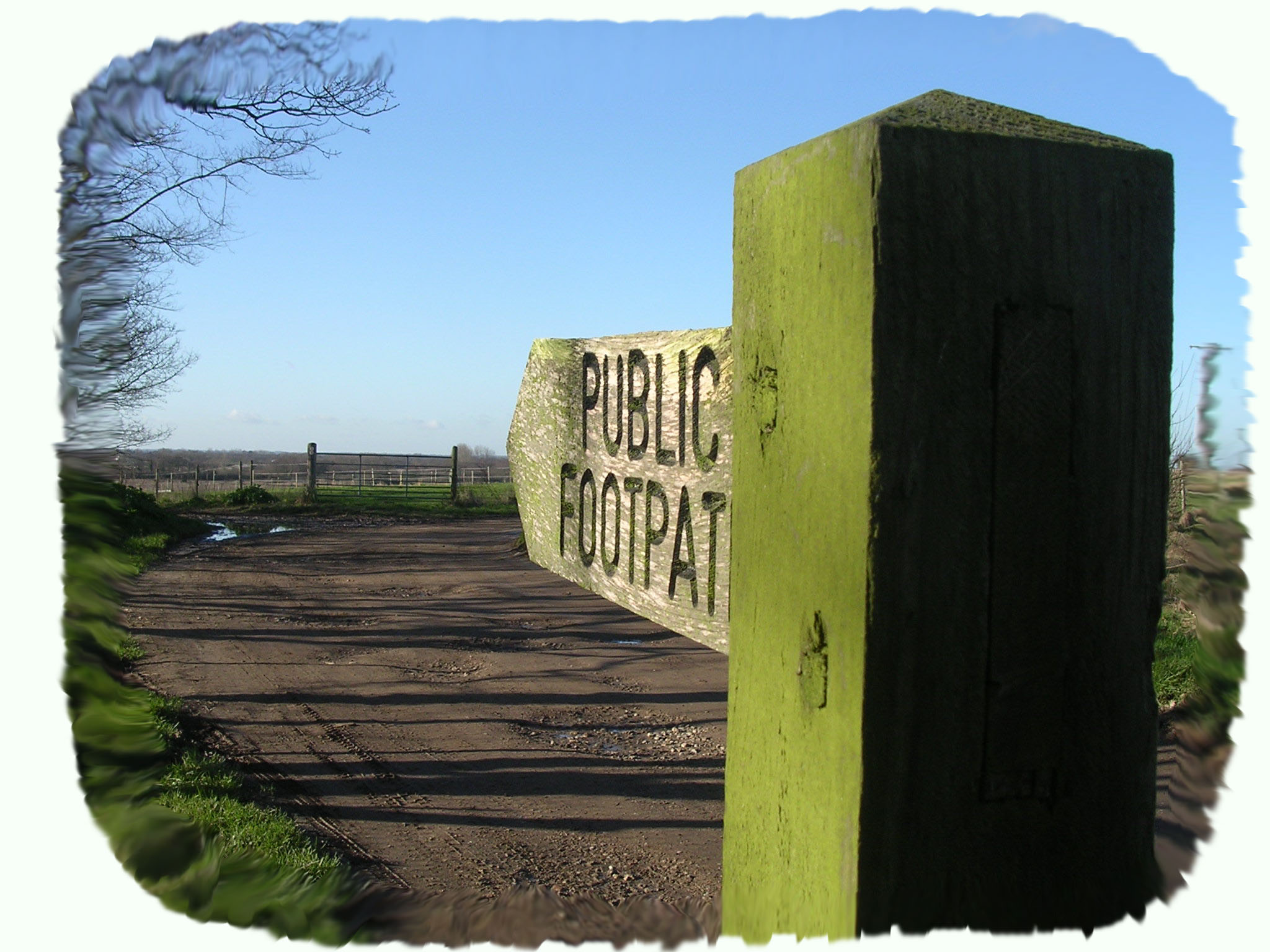
Footpath No14. Runs from Repps Road (opposite footpath No12) north to Common Road
OS map ref: TG441173 to TG438179. Distance: 735 yards (671 metres).
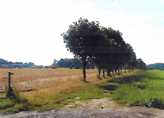
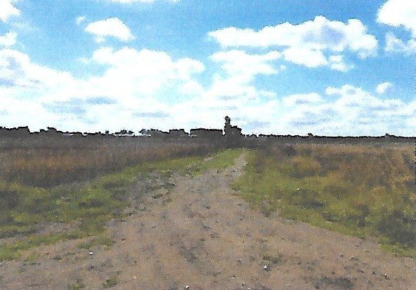
Surface: Level grass path crossing open fields.
Description: Easy flat walk close to the B1152 with off road parking.
Linked Footpaths: Footpath No14 crosses No15 and links with both No13, and No18 at its north end. It also joins No12 across the B1152, Repps Road.
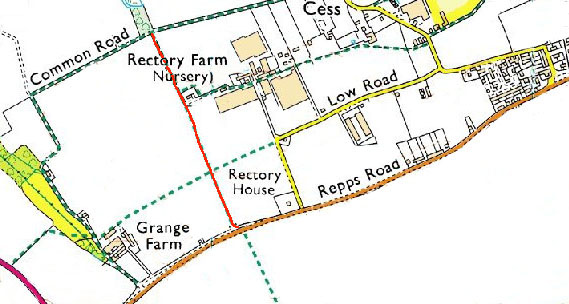
Start: Park on the old B1152 in what is now a long layby immediately off the existing B1152 at TG441173.
Footpath No14 runs north straight up over a low brow and bisects footpaths No15 after only 214 yards (196 metres) before descending gently past footpath No13 on the right and then ending at its junction with Common Road (footpath No18).
For a printer friendly version click HERE. This will open a separate window as a ‘pdf’ that you can then print.