Footpath No15, Martham 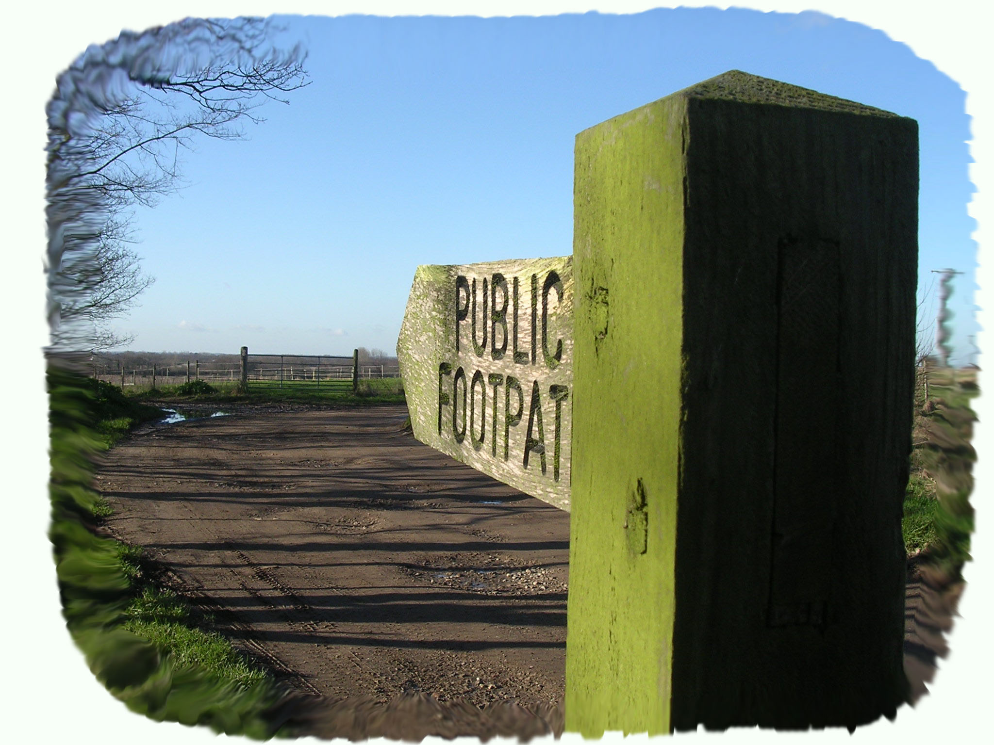
Footpath No15: Runs from Low Road through Grange Farm to the A149.
OS map ref: TG442175 to TG434172. Distance: 1038 yards (950 metres).
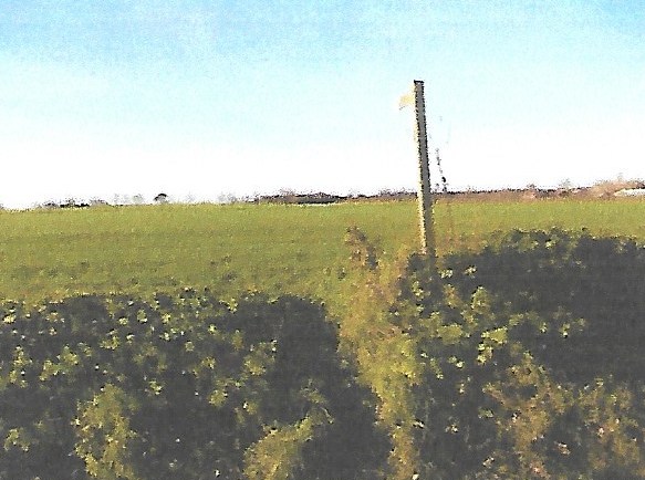
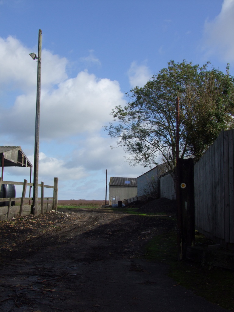
Surface: Mostly flat grass path and farmyard.
Description: Good flat walk crossing open fields and a farmyard. The first section however is often ploughed out, but go straight over it anyway.
Linked Footpaths: No14 and 18, and not far from all the others off Cess Road especially No13.
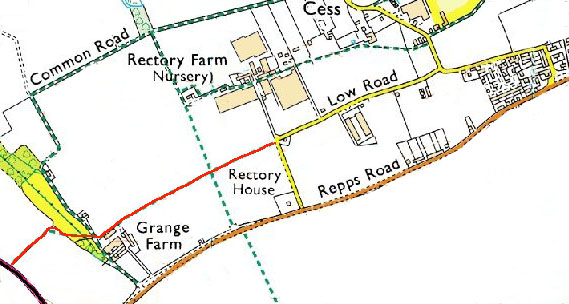
Start: Turn into Low Road at Rectory House, Repps Road. Parking is very restricted at the Low Road end of this path but there is a layby at the south end of Low Road beside Rectory House that is a little safer. The path starts directly opposite the former railway Gatehouse No41 on a right angled bend.
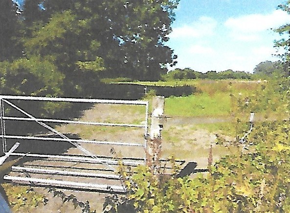
With your back to Gatehouse No41 and facing west the footpath sign indicates the path up a slight incline over the open field. One third of the way across the path bisects footpath No14 and gently drops down into Grange Farm where there is a chained gate. Closing the gate securely you cross the tarmac road that is footpath No18 and go through another chained gate into a small paddock. Aim for the large oak tree diagonally across the paddock where there is a stile. Turn north west from the stile and another is in sight only 100 yards further on. Having negotiated the second stile turn left and it is only another few paces to the main A149 road.
This footpath is a very ancient one that would have been the route used by people living at and around Grange Farm to go to the church. Grange Farm was the centre of a tiny settlement called Sco that existed in the 13th century but has long since disappeared.
For a printer friendly version click HERE. This will open a separate window as a ‘pdf’ that you can then print.