Floods near Martham
Generally, Martham is about 50ft. above sea level and unlikely to suffer flooding from sea or river action but it has had its fair share of extraordinary storms.
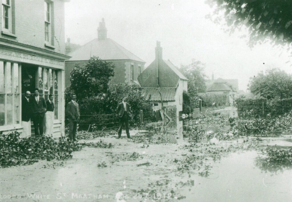
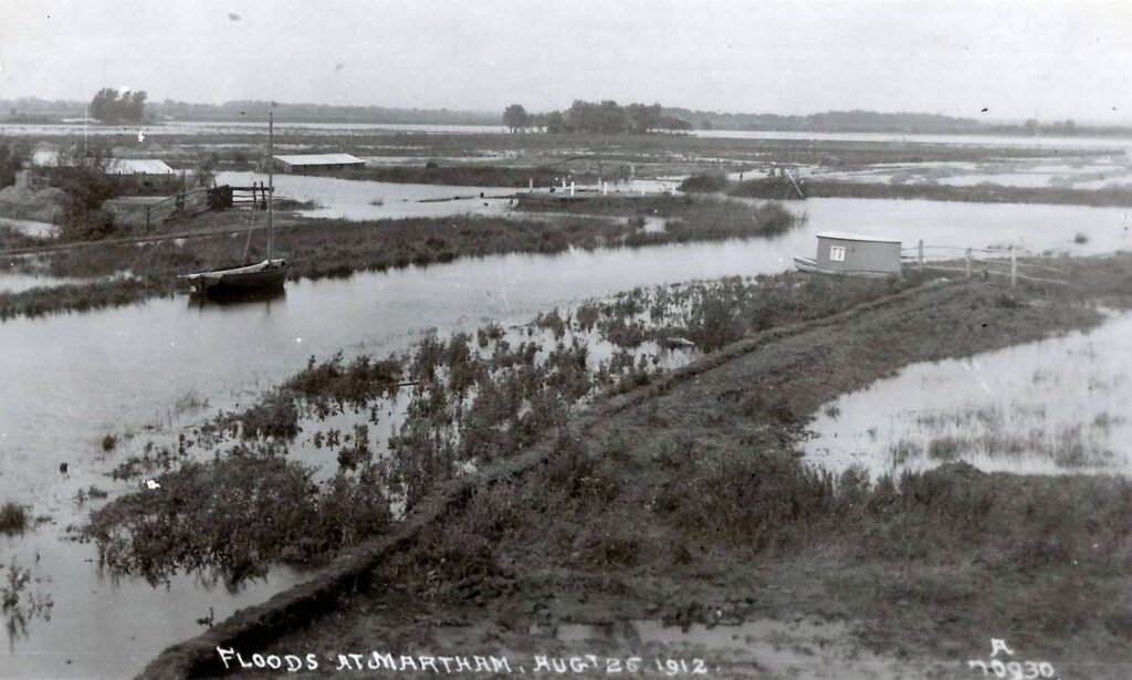
On Monday 26th August 1912 some very unseasonal weather caused extensive floods around the village as testified by these amazing photographs.
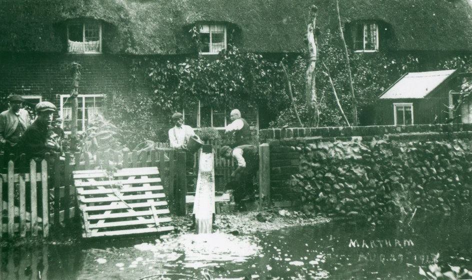
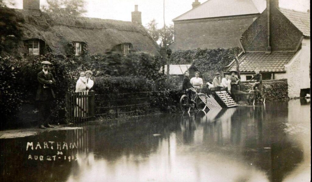
These cottages no longer exist but in 1912 they stood at the White Street end of Back Lane and the rescue squad is shown on the left. A deluge of rain resulted in the cottages standing in up to three feet of water. An almost tropical downpour left communications with the outside world almost entirely cut off. In the previous 12 hours close to six inches of rain had fallen which is the equivalent of just over 100 tons to the acre.
A little further along in White Street the floods brought down trees and invaded Pyman’s Store as shown below.
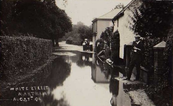
At the same time Black Street was also affected as shown on the left below.
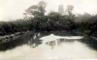
On the right is an unusual photo of Martham Boat Dyke in the foreground swelled by flood water as it enters the River Thurne. The old ferry is partly adrift from its moorings but the water was already going down and the ferry was not damaged. Note the very small buildings which are now the site of Martham Ferry Boatyard.
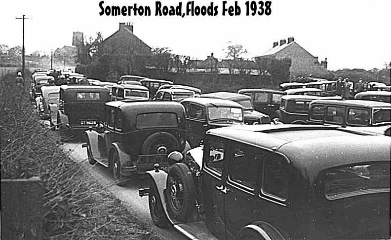
In February 1938 extensive floods affected almost all the local low-lying areas, most seriously at Somerton and Horsey, that were totally cut off. When the news spread many people came to have a look even though roads were impassable with the result that Somerton Road in Martham was totally blocked by cars.
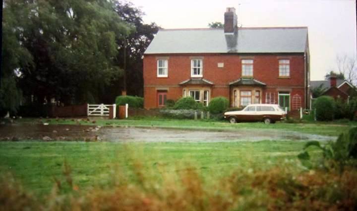
Flooding is not confined to the past – in 1987 the former Crane’s Green pond reappeared after a short sharp downpour. It is shown below on part of the Village Green in front of Ross Villas.
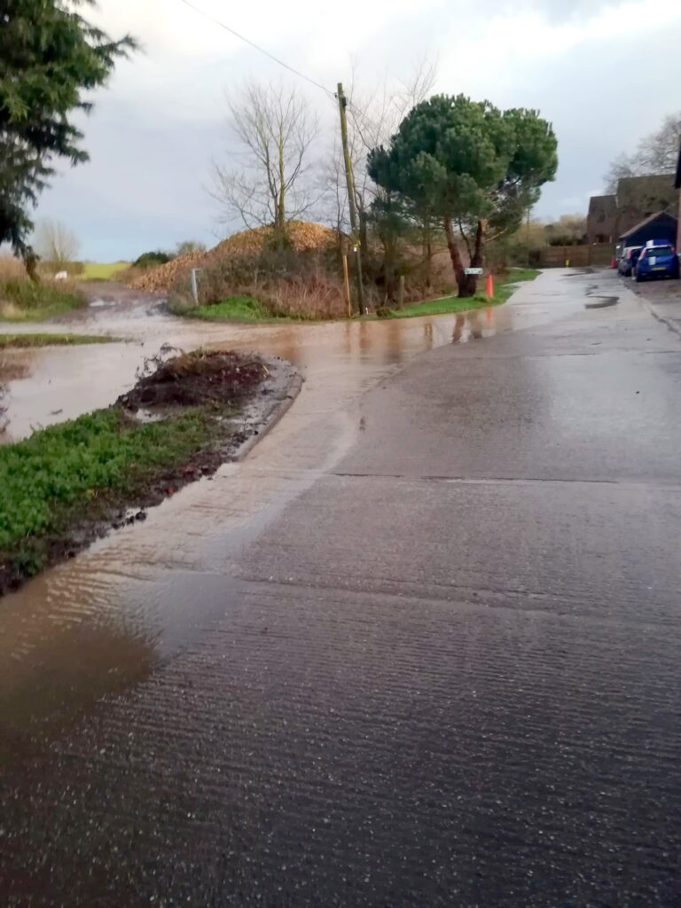
Hall Road drains water from the Village Green and Back Lane so perhaps it is not a surprise that it occasionally floods as here on 9th February 2020.